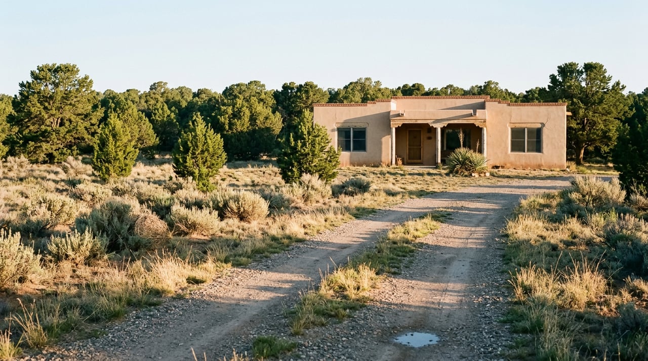
What Actually Protects the Open Land Around La Tierra Trails
August 13, 2026
August 13, 2026
The fight over this land had already produced one marathon hearing before it produced an answer. On June 9, opponents packed a Santa Fe County meeting for hours, and when a procession of speakers finished denouncing the proposed Camino Verde subdivision, the applause got loud enough that Commission Chair Justin Greene asked the room to hold it in. Commissioners delayed their decision that night. Three weeks later, on June 30, they came back and voted 3 to 2 to reject the plan: a proposed 158-home development that would have covered two parcels totaling 304 acres straddling Camino La Tierra.
For buyers evaluating land near the La Tierra Trails, the vote is one part of the planning history. The commission rejected one specific plan from one specific developer. The county's development rules are useful context because they remain in place after this vote.
Camino Verde wasn't an odd fit for this stretch of county. The Santa Fe New Mexican reported that the county's Sustainable Land Development Code allows a density bonus for projects that cluster homes and dedicate open space. Under the developer's proposal, more than 50 percent of the 304 acres would have been preserved as natural open space and trail easements, including a stretch of the historic Chile Line rail bed, in exchange for concentrating the 158 homes on smaller lots rather than spreading them evenly across the property. That's the trade the code is structured around. A developer gives up uniform density in exchange for the right to build more units overall, as long as a defined share of the land is set aside.
The lot sizes shifted as the plan moved through the process, which is worth sitting with for a second. At an April hearing before county hearing officer Taylor Hartstein, the project was described with lots ranging from 0.24 to 3.67 acres. By the time developer representative Jennifer Jenkins addressed commissioners in June, the range being cited was closer to 0.3 to 3.13 acres. Those aren't dramatically different numbers, but they show a plan being tuned in real time to satisfy code thresholds, not a fixed layout that simply waited for a yes. Eighteen of the homes would have been offered at rates the county deems affordable.
Here's the part that matters if you're pricing raw land in this corridor: La Tierra's 25-mile trail network is an amenity for nearby residents. The trails make land here desirable to live near.
Dewey Lederer, a resident of the nearby Tierra de Oro subdivision, made a version of this same argument during the process, citing the county code's own mission-statement language about preserving the character of existing communities and unique rural landscapes.
Access arrangements near the trails are another detail buyers may want to understand. Hikers, cyclists, and riders who use the La Tierra Trails frequently get there by parking along Camino La Tierra and crossing private, undeveloped land to reach the trailhead. That undeveloped land is the same land Camino Verde would have built on. The Santa Fe Conservation Trust's maintenance agreement covers the 25-mile trail network itself, which sits on city-owned property and has been maintained under that arrangement since 2014. It does not extend to the parking areas and access points that run across privately held parcels nearby.
That distinction matters if trail access is part of what's drawing you to a specific piece of land here. The core network being city-owned and actively maintained tells you it's stable. It tells you nothing about whether the way you currently reach it will look the same in five years, because that access runs through exactly the kind of parcel that keeps attracting subdivision proposals.
One practical issue raised during the hearing was insurance. William Feiereisen, who chairs the emergency preparedness and fire safety committee for the nearby La Mariposa Homeowners Association, told county officials, as reported by Yahoo News, that Camino La Tierra is "a high fire danger area with marginal fire department support," and that insurers have already withdrawn coverage or canceled policies in the area. His argument against Camino Verde was that adding density on the only road serving as an evacuation route for the neighborhoods to the north and west would compound a problem that already exists.
Whatever you make of the zoning fight itself, that insurance detail is the kind of thing that doesn't surface until you're deep into a transaction. A listing won't mention which carriers have pulled back from a corridor. A trail map certainly won't. The only reliable way to find out is to get an actual quote, from more than one carrier, before you're under contract on a parcel here, and to ask specifically about wildfire coverage for that property rather than for the general area.
The vote addressed the submitted plan; this timeline summarizes the steps leading to that decision.
None of this means La Tierra, Las Campanas, or the surrounding Tano Road and Las Dos parcels are a poor place to buy. It means the diligence looks different than it does in a fully built-out neighborhood. Before writing an offer on raw land or a home on a large parcel in this corridor, a few extra steps are worth the time a standard home search skips:
None of this is legal or financial advice. It's the homework that turns a scenic parcel into a well-understood one before you're committed to it.
Does the June 30 vote mean the Camino Verde land can never be developed? No. The commission rejected this specific conceptual plan. A revised plan or a different developer could bring a new proposal forward.
Does this affect land values in Las Campanas or along Tano Road? What it does show is that any large undeveloped parcel near the trail system is a candidate for a future proposal, which is useful context for anyone evaluating land nearby.
Where can I follow future proposals for this corridor? Santa Fe County's land use department keeps public records on active applications, and the community group behind caminolatierra.org has tracked county hearings on this parcel closely since April.
If you're weighing a parcel near the La Tierra Trails, or trying to sort out which parcels have formal protections and which remain subject to future proposals, Bunny Terry has spent years walking this exact corridor with buyers who wanted the record, not just the view. Start your Santa Fe story with someone who reads the county file before the listing photos.
Stay up to date on the latest real estate trends
Moving to Santa Fe
You don't have to become someone new to find your niche in Santa Fe
You'll find art everywhere in Santa Fe County


We are committed to making each transaction the least complicated and easiest one you’ve ever been involved in. In old school speak, we bring our best professionalism to each and every transaction. We maintain a strong work ethic and believe that the client/broker relationship is a partnership built on honesty, trust, confidentiality and mutual respect. Let’s get started on this journey to fulfill your Santa Fe Real Estate dream!
Let's Work Together
Bunny Terry
211 East Palace Avenue Santa Fe NM 87501